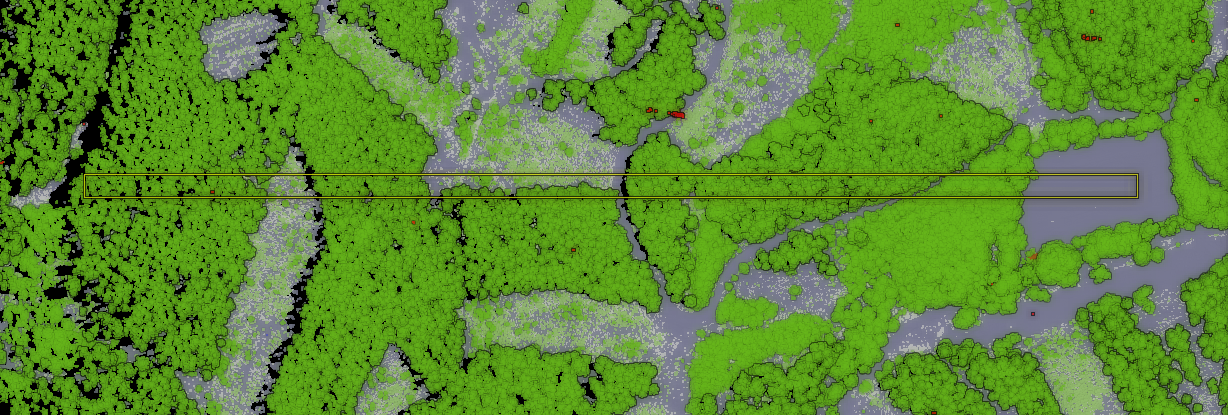
We are pleased to announce the success of our crowdfunding campaign to improve point cloud and elevation tools in QGIS. Thanks to the generous pledges from QGIS community, we have exceeded the target (including the stretch goal).
We are very excited and looking forward to developing those features in the upcoming QGIS releases in collaboration with North Road and Hobu.
Thanks again to all those who have contributed to the campaign. Without your support, these major developments would have not been possible. We will publish a blog post with the list of contributors in due course.
To stay tuned with the latest development, you can visit QGIS code repository or visit our blog for news and updates.


You may also like...
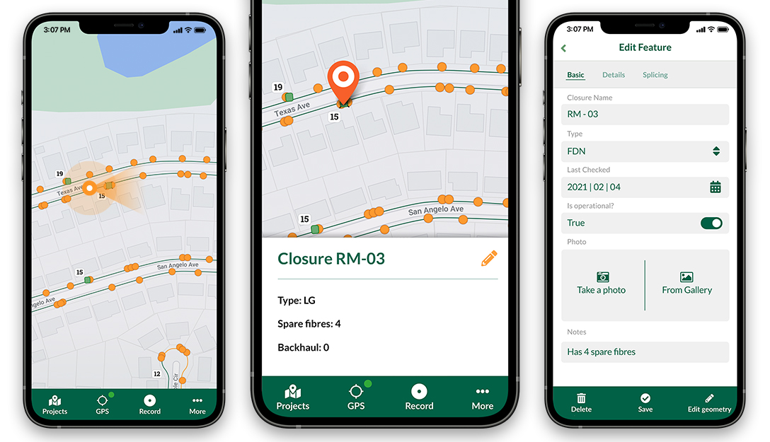
Mergin Maps, a field data collection app based on QGIS. Mergin Maps makes field work easy with its simple interface and cloud-based sync. Available on Android, iOS and Windows.


Posted by
Saber Razmjooei